CLOSE
CLOSE
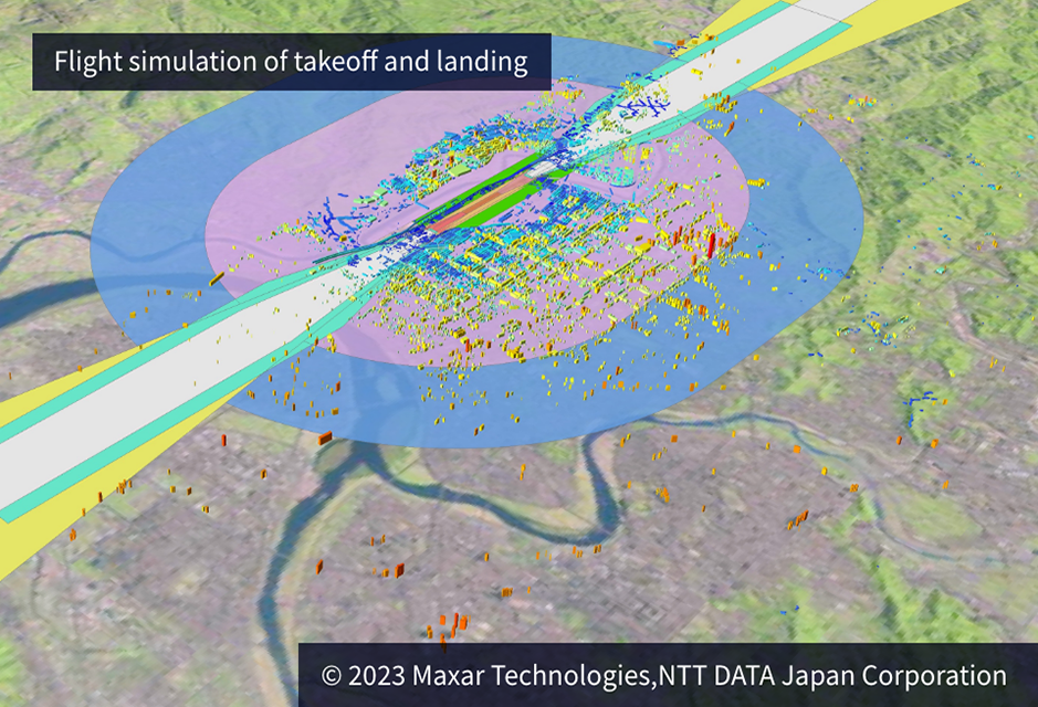
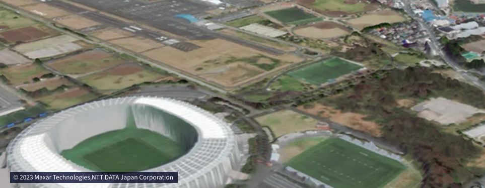
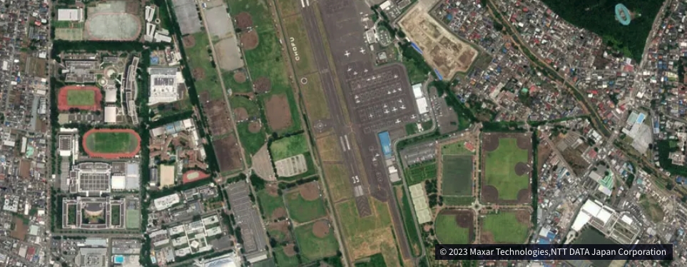
AW3D provided High-accuracy, High-resolution 3D Map data
for flight simulation in order to ensure the aviation safety
Flight simulators are the last bastion of aviation safety.
Weather, topography, season, and missions…,
pilots are expected to perform at their best in all situations.
Therefore, the environment prepared for flight simulators
must be highly accurate.AW3D can provide 3D map data
around the world for any simulators.

AW3D supports strategic decisions for a wide range of users by providing high-quality, high-precision, and cost-effective digital elevation data.
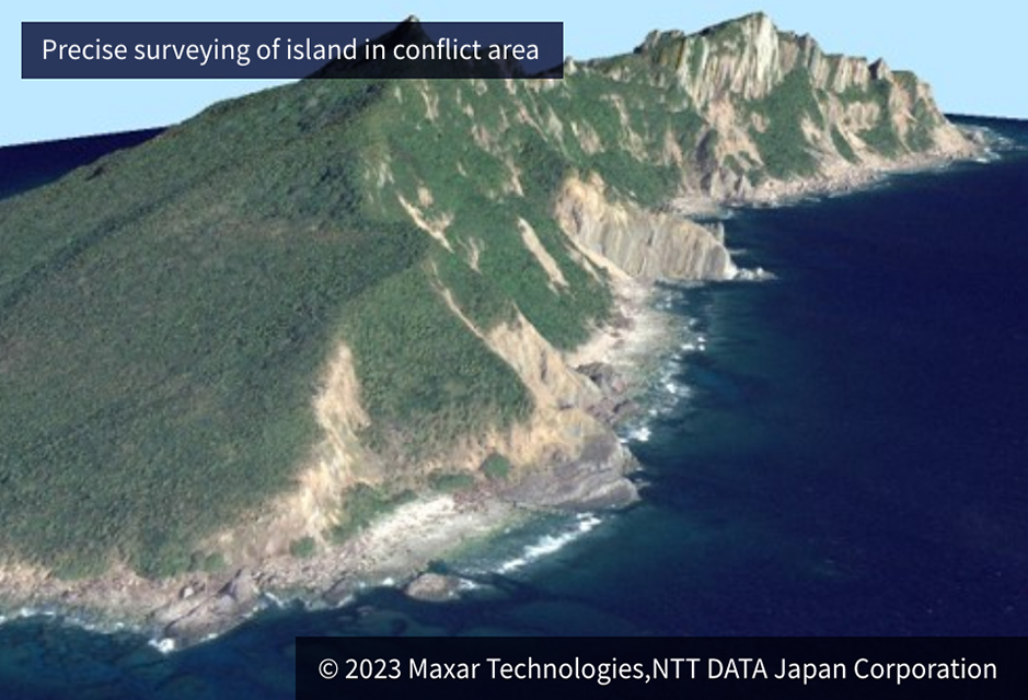
AW3D can provide highly accurate 3D data on sensitive areas such as conflict zones and national borders. These are used as basic information for topographic maps and military planning.
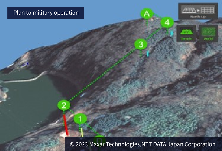
AW3D provides detailed geological features and vegetation information for military operations such as driving routes for military vehicles, for planning fighter aircrafts . AW3D contributes to the planning of military operations on land, sea and air.
Extract possible risks by conducting detailed simulations of flight plans and march plans using AW3D. We can provide a highly realistic and highly reliable simulation environment, such as building heights, topographic undulations, flood conditions.
Precise measurement of hurricane
● Get any locations you need in the world
● Get areas where airplanes cannot fly
● High accuracy and resolution (max:±50 cm)
● No risk in taking satellite images
● Available even for the denied areas
● Get any locations you need in the world
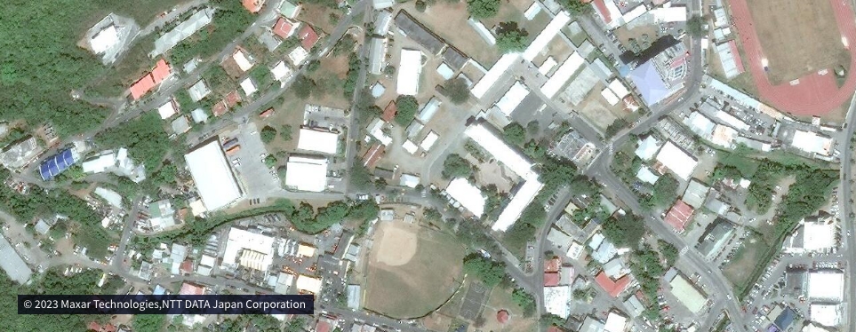
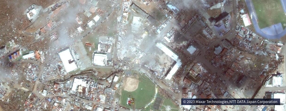
Aging change of large facilities
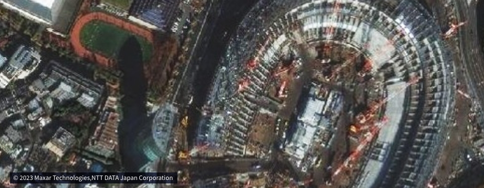
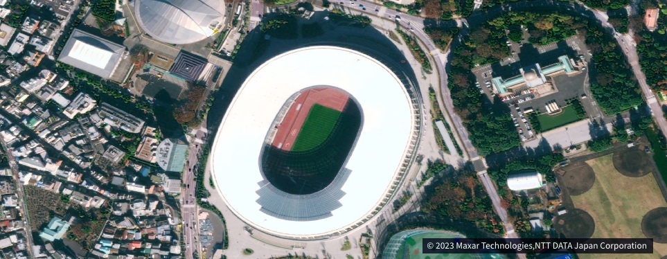
● Immediate collection when necessary
● Quick response to emergencies
● e.g. disasters and military conflicts
● Follow seasonal changes
● Always up to date
Flexible collaboration of “Ortho” and “3Dmap”
● Only where you need it, with the accuracy and timeliness you need.
● Compatible with the creation of data from multiple sources
● Flexible combination of different data
● Choose the freshness and accuracy according to your usage
Depending on your usage, you can choose from different products.
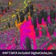
| AW3D Standard | AW3D Enhanced | AW3D Building | AW3D Ortho Image | AW3D Telecom | AW3D Airport | |
|---|---|---|---|---|---|---|
| Data | 2.5m/5m DSM/DTM | 0.5 – 2m DSM/DTM | 3D Building vector | Geometrically corrected imagery | 3D Telecom Data Set | 3D package for Airport |
| Characte ristic | Global coverage, short delivery,low price | Fresh data available, high resolution | High accuracy, three-dimensional | High accuracy, high resolution | 3D dataset for RF simulation | Aviation international standard complied |
| Usage | Disaster prevention, construction sims, etc. | Scientific analysis, Civil engineering, etc. | City planning, etc. | Digital Mapping, Facility management, etc. | Network planning for mobile operator, etc. | Electric terrain and Obstacle data (eTOD) etc. |
| Product Image |  |
 |
 |
 |
 |
 |
The AW3D can help you find the best options. We’ll design a solution for your business to help you get the data for your business.