CLOSE
CLOSE
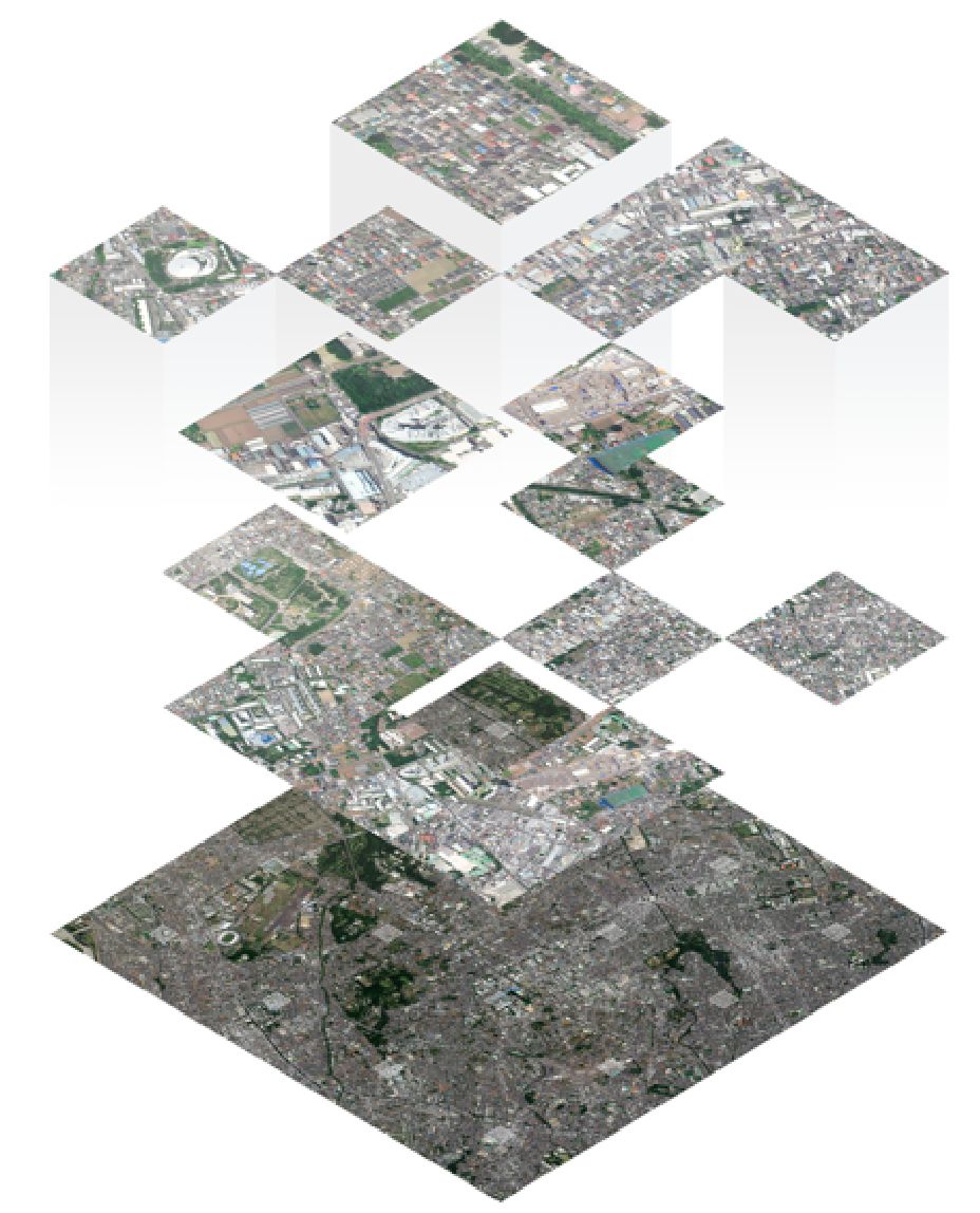
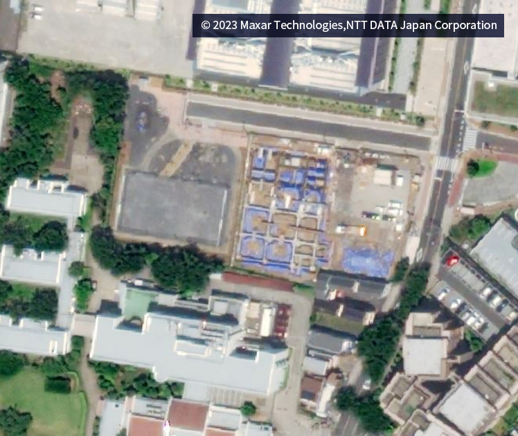
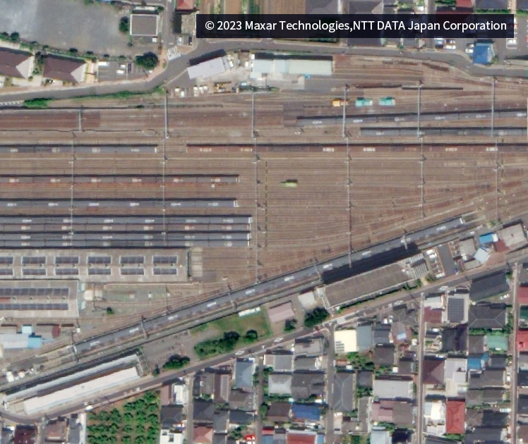
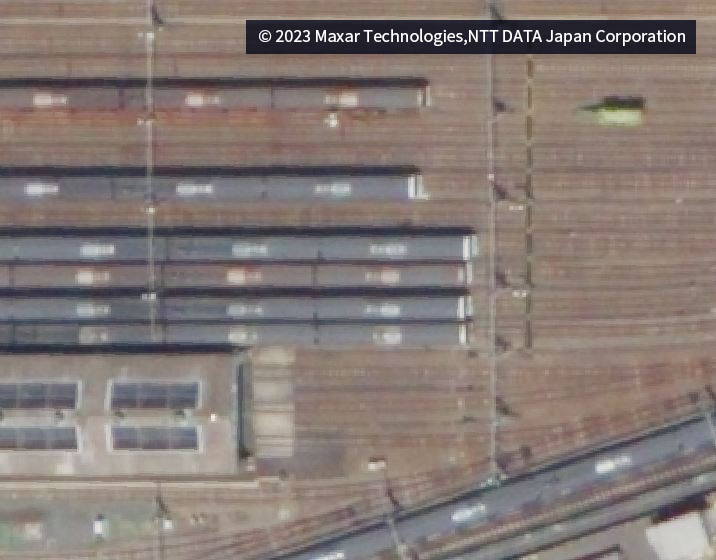
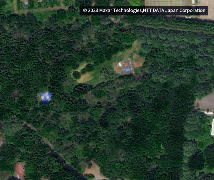
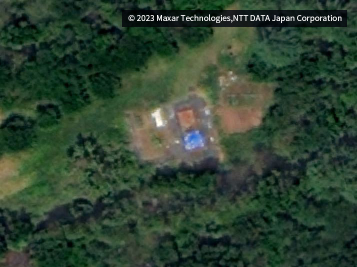
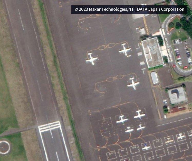
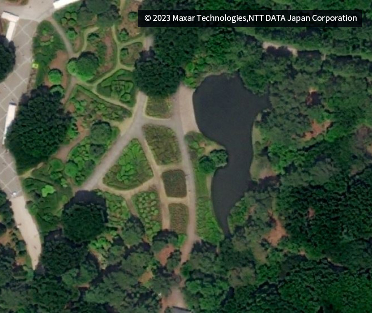
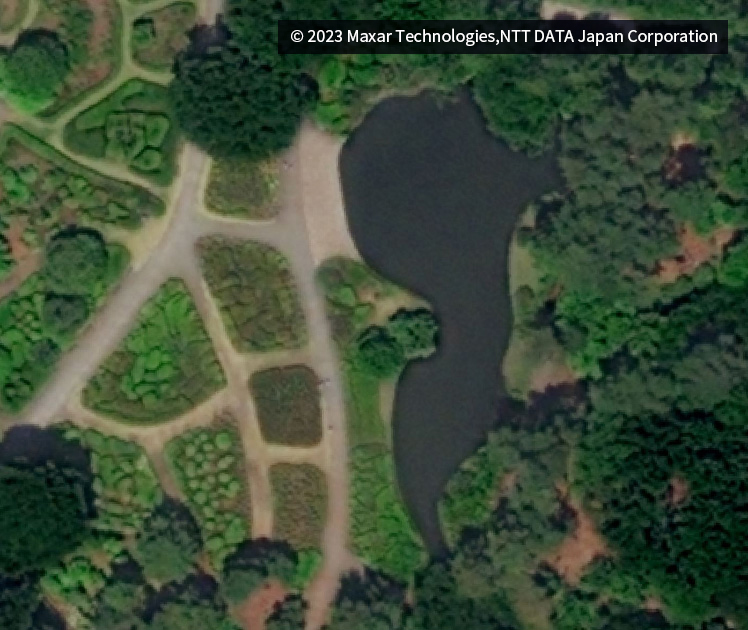
AW3D Ortho images are the world's highest level of 30cm resolution and 2.5m accuracy.
These can be used for various customer operations such as tax investigation, disaster analysis and forest survey.
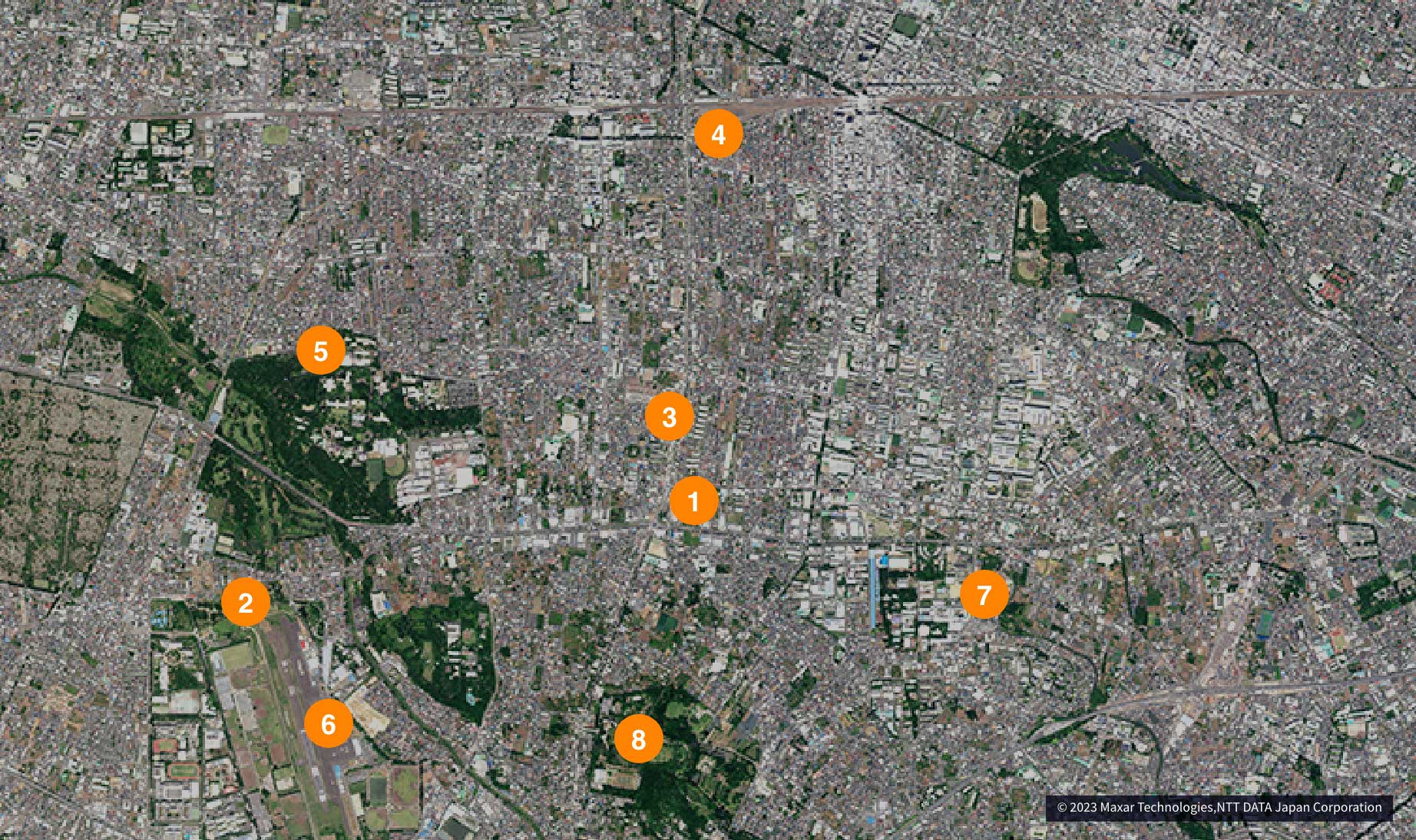
Around Musashino City,Tokyo
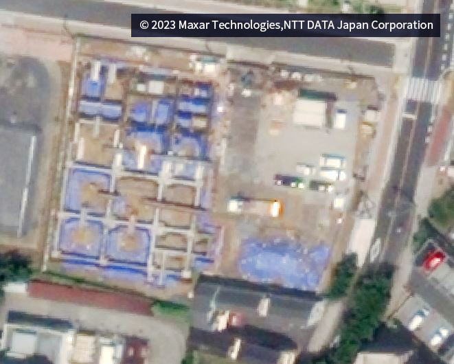
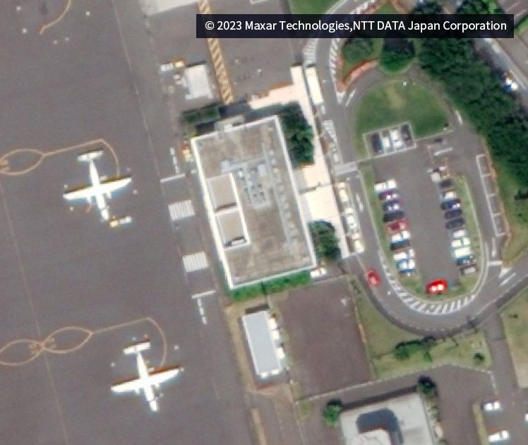
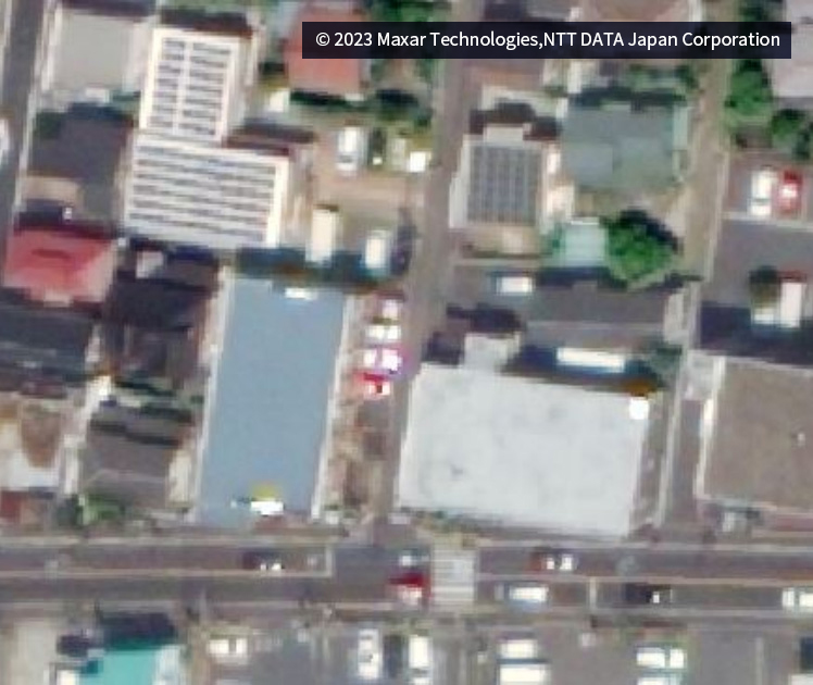 Full image at 1:1000, Enlarged image at 1:500
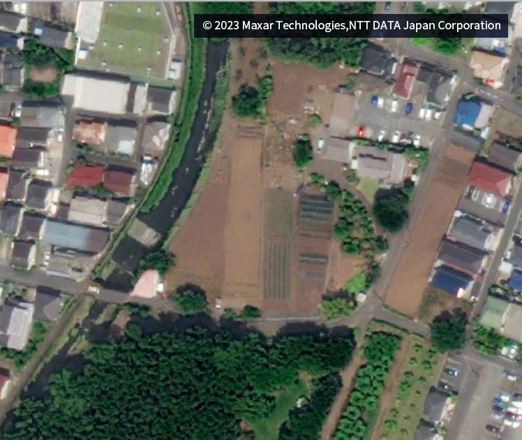
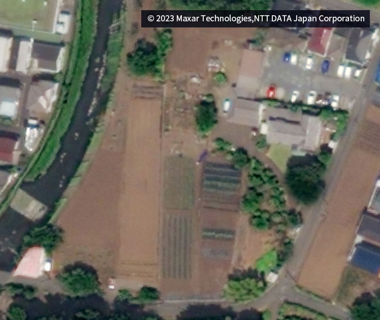
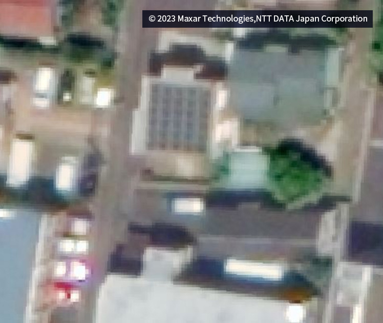 Full image at 1:1000, Enlarged image at 1:500
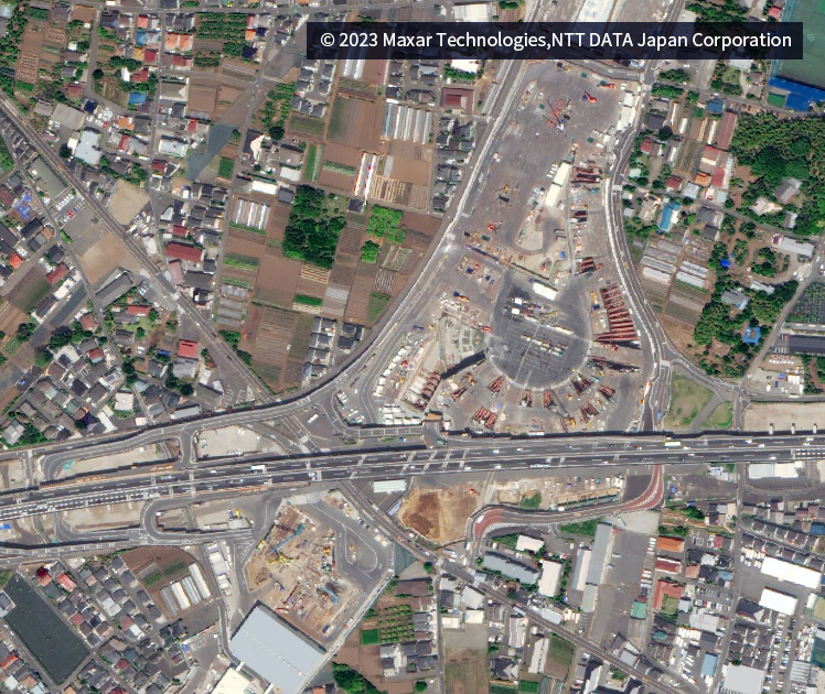
Use case
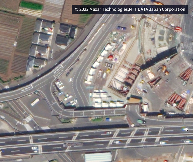
 Full image at 1:1500, Enlarged image at 1:500
 Full image at 1:1500, Enlarged image at 1:500
Use case
 Full image at 1:1500, Enlarged image at 1:500
 Full image at 1:1500, Enlarged image at 1:500
Use case
 Full image at 1:1500, Enlarged image at 1:500
 Full image at 1:1500, Enlarged image at 1:500
Use case
 Full image at 1:1500, Enlarged image at 1:500
 Full image at 1:1500, Enlarged image at 1:500
Use case
 Full image at 1:1500, Enlarged image at 1:500
 Full image at 1:1500, Enlarged image at 1:500
Use case
 Full image at 1:1000, Enlarged image at 1:500
 Full image at 1:1000, Enlarged image at 1:500
Use case
 Full image at 1:1000, Enlarged image at 1:500
 Full image at 1:1000, Enlarged image at 1:500
Use case
Please contact the following for sample data,detailed data information,
or questions regarding business use.
