AW3D Standard
High-resolution digital 3D map covering the entire global land area
| Product Type | DSM/DTM |
|---|---|
| Resolution | 2.5 m/5 m |
| Satellite | JAXA - ALOS |
| Area | Global |
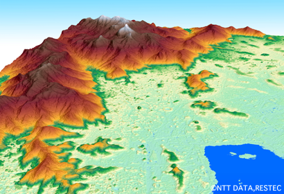
DEM (Rio de Janeiro)
AW3D Enhanced
The highest precision DEM in 0.5m Resolution
| Product Type | DSM/DTM |
|---|---|
| Resolution | 0.5 m/ 1 m / 2 m |
| Satellite | Maxar Technologies - WorldView etc |
| Area | On demand |
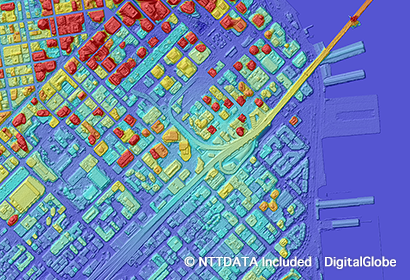
DSM(San Francisco)
AW3D Ortho Imagery
The highest quality orthorectified imagery in the world
| Product Type | Orthorectified imagery |
|---|---|
| Resolution | 30 cm / 40 cm / 50 cm / 60 cm / 2.5 m |
| Satellite | JAXA - ALOS (2.5 m) & Maxar Technologies - WorldView (30 cm - 60 cm) |
| Area | any area on demand |
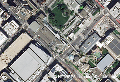
Ortho Imagery(San Francisco)
AW3D Building
Satellite-based building 3D vector data
| Product Type | Building 3D Vectors (Digital Height Data, Polygon Type) |
|---|---|
| Satellite | Maxar Technologies - WorldView |
| Area | Worldwide (on-demand) / Off-the-shelf (see above) |
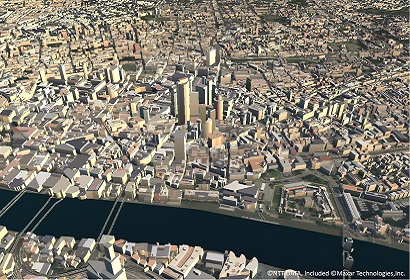
Building 3D Vectors(London)
AW3D Telecom
Perfect 3D datasets for any simulation of wireless signal propagation
| Product Type | Vector data, Raster data |
|---|---|
| Satellite | Maxar Technologies - WorldView etc |
| Area | On demand |
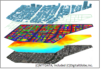
3Dvector and Ortho imagery (Chicago)
AW3D Airport
Terrain and obstacles dataset optimized for aviation standards (eTOD)
| Product Type | Vector data, Raster data |
|---|---|
| Satellite | Maxar Technologies - WorldView etc |
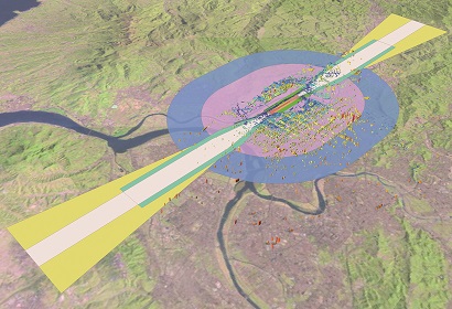
Taipei Songshan Airport(eTOD)
Nationwide US/UK/Japan 3D Base map
Nationwide US/UK/Japan 3D Base map
| Product Type | Vector data, Raster data |
|---|---|
| Satellite | JAXA - ALOS, Maxar Technologies - WorldView, and other satellites |
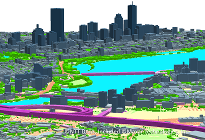
3D vectors (building/vegetation/bridge)


